


This content has been archived. It may no longer be relevant
After the crazy year we’ve had already, we couldn’t wait to dive into this month’s Conservation Conversations topic: Flooding in Tennessee. Nashville in particular has had a rocky past when it comes to flooding, and many residents are probably wondering what to do to keep their homes safe. From flood insurance, to 100-year rain events, to the unique ecology of floodplains, we answered all of your burning flood questions on this month’s Conservation Conversations.
This week, flood experts Roger Lindsey from Metro Nashville Water Services, and Marina Metes from USGS led the discussion.
Starting off, Lindsey examined the increasing prevalence of extreme weather events, and some factors that lead to floods and record rainfall across the U.S.. Middle Tennessee in particular was actually victim to an interesting phenomenon called an “atmospheric river”, which caused the record amounts of rainfall that caused the Nashville flood in 2010. Lindsey goes on to explain how developers can protect properties from future flood damage by setting higher regulatory standards, which will become increasingly necessary as flooding becomes more common.
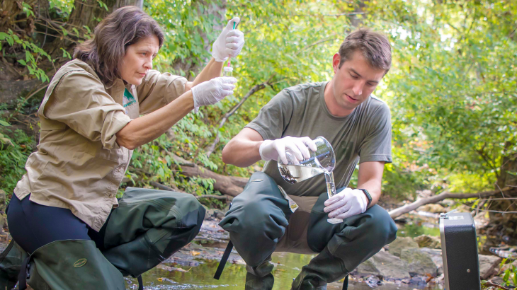
Next up, Metes discussed her work with USGS using a variety of factors to measure ecosystem services that floodplains provide, focusing on sediment and nutrient deposition.
So, what exactly is a floodplain, and what makes its ecology so unique? A floodplain is an area of low-lying ground directly adjacent to a river that mainly consists of river sediments and is subject to consistent flooding. Floodplains, and the vegetation that they consist of, provide numerous ecosystem services, such as: flood and erosion control, and sediment/ nutrient retention. Metes explained how her team used tree roots as a way to measure how much sediment has been left from flooding in a floodplain over a certain period of time.
Their data shows how nutrient and sediment levels in an area have changed over a period of several years. It’s a pretty cool process, made
even cooler by the fact they can now predict these changes using LIDAR: Light Detection and Ranging. Using this tool, we can now see physical characteristics of an entire floodplain, and determine which areas are more prone to erosion, or in need of restoration.
To learn more about flooding in Tennessee, watch the full discussion on our Youtube channel below!