


This content has been archived. It may no longer be relevant
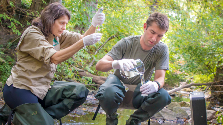
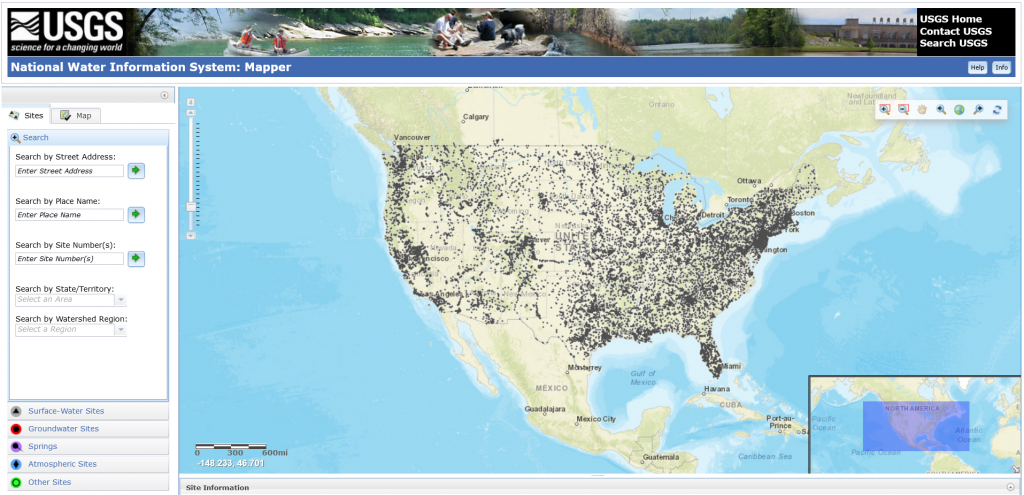
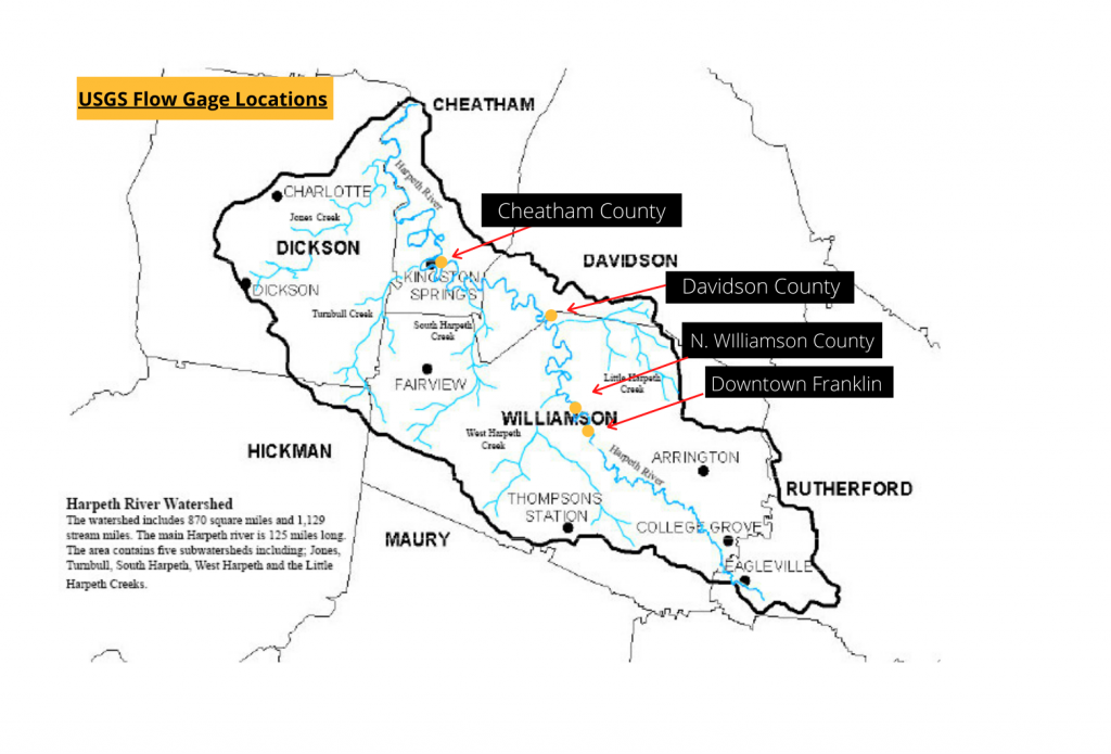
United States Geological Survey (USGS) Water Information System 1. Go to the United States Geological Survey Water Information System: Mapper 2. Type in your location 3. Choose the gray access pin upstream from your location 4.Click on access data and choose “Current/Historical Data” Click on your area below to see Gage Height and discharge of the Harpeth River. The Gage Height will show the rise and fall of the river. The discharge will show how much water is in the river. 1. Harpeth River at Kingston Springs (Cheatham County) 2. Harpeth River at Bellevue, TN (Davidson County) 3. Harpeth River below Franklin, TN (Northern Williamson County) 4. Harpeth River at Franklin, TN (Downtown Franklin) *Make sure to adjust start date and end date if needed* |


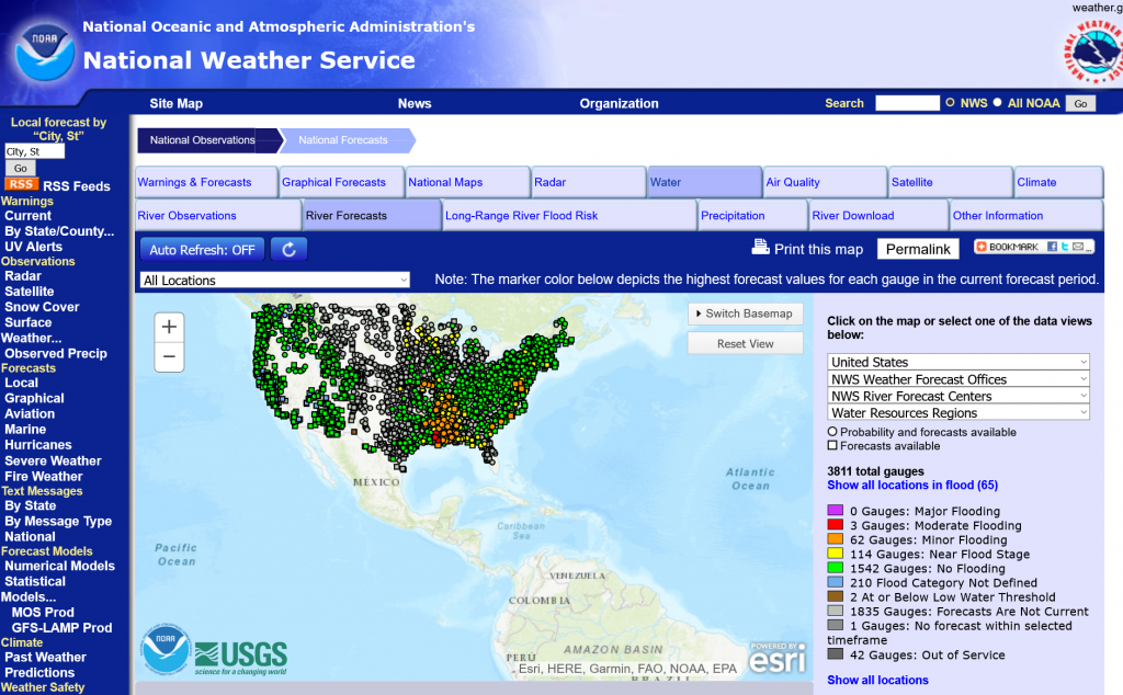
| National Oceanic and Atmospheric Administration’s (NOAA) National Weather Service CLICK HERE to access the NOAA river forecast map. You can also use the map to find the nearest gauges near your location. |
Apps
Find this data on your phone! Two apps are available in the App Store.
Free: “Rivercast – Levels & Forecasts” – USA River Levels and Forecasts
$2.99: “River Levels & Flows” – USGS